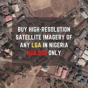
Want to see a drone-like shot of any locality, town, city, state or even country around you? How about a high-resolution image of your construction site, farmland, house, properties and many more?
You no longer have to be a spy to see this data: Satellite imagery has found a place in our everyday lives. But satellite imagery is more than just a curiosity. It’s easier than ever to use this technology for many applications from construction to natural disaster recovery. Many industries, including federal, state and local agencies, and natural resources, architecture, engineering and construction companies, use satellite imagery as an essential part of their jobs.
So why would you use satellite imagery?
First, it can help create a more accurate base map, which is a map on which primary data and interpretations can be plotted such as roads, rivers, and city boundaries etc. satellite data provides another level of detail that can serve numerous purposes, not just a few applications. Satellite can provide a shot of the target area, for example, survey sites, when needed. satellite imagery is useful in a variety of applications such as soil features, fire risk management, wetlands mapping and vegetation analysis and classification.
Already many government and non-government industries use satellite imagery in their daily work. Federal agencies use it to help manage industries that impact transportation, infrastructure, urban development, environment and homeland security.
State and local governments use satellite and aerial imagery to map essential public service projects. For example, towns, cities and LGA use imagery to understand the make-up of their areas for tax assessment, public works and public safety applications. The Architectural, Engineering and Construction (AEC) industry uses satellite imagery to get a more comprehensive view of a selected site and its surrounding areas. AEC firms rely on satellite imagery for large-scale infrastructure projects such as pipeline and railway construction to identify features such as related ground structures, route planning, vegetation analysis and real-time monitoring of their project areas. There are many advantages to using satellite imagery.
Satellite imagery contains more information, covers a larger ground area than aerial photos taken from drones, and provides updates of the target area every few days. Satellite imagery provides huge benefits to GIS updates, economic development, environmental protection and preservation, and disaster management and public safety, and because satellite imagery is collected digitally, there is no data loss during the scanning process.
If your business is into Construction, Engineering, Survey, Logistic, Marketing, Town Planning, Telecommunication, etc. then chances are you will be needing a satellite imagery.
Contact us
Phone: 09034768625
Email: tekapp3@gmail.com

